Accueil
/ Produits identifiés “Systèmes LiDAR pour Drone”
Systèmes LiDAR pour Drone
Affichage de 1–9 sur 15 résultats
Tri par défaut
Tri par popularité
Tri par notes moyennes
Tri du plus récent au plus ancien
Tri par tarif croissant
Tri par tarif décroissant
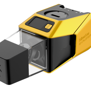
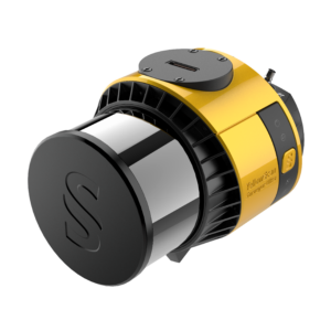
YellowScan Explorer
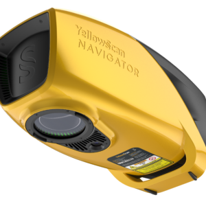
YellowScan Navigator
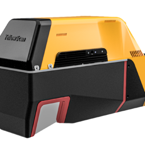
YellowScan Voyager
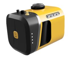
YellowScan Mapper+
YellowScan Surveyor Ultra
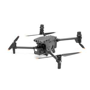
Drone DJI M30/M30T
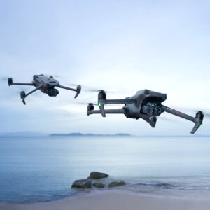
Drone DJI MAVIC 3 Enterprise
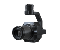
DJI ZENMUSE P1
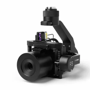
PhaseOne P3 iXM-100
1
2
→
Nos actualités
ADAS
Auscultation
Caméra Métrique
Centrales Inertielles
Demo Day
DJI Enterprise
Drone
IXM
Levé Mobile Scanner
Lidar
Ouster
OxTS
Phase One
RIEGL
Yellowscan
Nos solutions
Mobile Mapping
Drone professionnel
LIDAR Aéroporté
Navvis Scanner
Scanner laser terrestre
Photogrammétrie par drone
GNSS ET CENTRALES INERTIELLES
TRAJECTO ET MESURES VÉHICULES
LIDAR
Centrale inertielle miniature
ADAS et Validation des Véhicules Autonomes
Auscultation et Surveillance